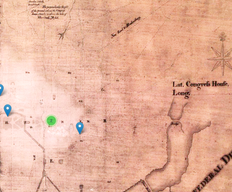
Skip to content

Building Histories of the National Mall

A Guide to Creating a Digital Public History Project

  • Project Rationale
    • Mobile Public History
    • Audiences
    • Project Team
  • Technical Infrastructure
  • Content Development and Interpretative Approach
    • Maps
      • Developing and Designing the Map
    • People-Places-Past Events
    • Explorations
      • Scavenger Hunts
    • Content Testing
    • Composing for the Mobile Web
  • User Experience and Design
    • Design and Testing
  • Outreach and Publicity
    • Social Media Strategy
    • Making an “App”
      • Cordova Development Guide
    • Secondary Outreach: Peers
  • Challenges
  • Measuring Success
Previous Image
Next Image

pre1800map2

An aged map. Boundaries and streets are faintly outlined in black. A green circle and three blue pinpoints have been superimposed on the map.

The same map, made lighter with digital photo processing tools, used on the site.

Posted on August 27, 2015October 26, 2015Full size 746 × 616

Post navigation

Published inpre1800map2
Proudly powered by WordPress